project
Ren Faire GIS Navigator
An interactive Android map app for navigating complex outdoor event layouts at the Kansas City Ren Faire, built on processed county-level GIS data.

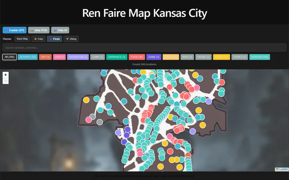
What it is
The Kansas City Renaissance Festival covers acres of winding paths, and the paper map is hard to read once you're inside. Ye Old Map is an Android app that shows where you are on the festival grounds and helps you find the turkey legs, the joust, or the nearest bathroom.
Features
- More than 300 mapped locations: about 190 vendors, 50 food stands, 15 stages, plus activities, ATMs, bathrooms, entrances, and ticket counters
- Separate maps for vendors, food, stages, and bathrooms, so you only see what you are looking for
- Search by name, plus a detail page for each location
- Live GPS position on the map
- Drop a pin where you parked so you can find your car at the end of the day
- Themed map artwork (classic, fae, viking, or pirate) and an optional labeled grid in 50-foot squares
- Works offline: the whole map is built into the app, so it works even when cell service is spotty
How it works
I started from county-level GIS data and processed it into map tiles covering just the festival grounds. Those tiles ship inside the app as an MBTiles file, and osmdroid draws them with no internet connection. Illustrated map artwork is pinned on top at the exact coordinates of the grounds, so it lines up with your GPS position. Every location lives in a JSON file with its coordinates, category, and description, which makes it easy to update each season. The app is written in Kotlin and is available on Google Play.